
Station: GEA - Gela (Italy)
|
GENERAL INFORMATION | |
| Station | GEA |
| Network (FDSN code) | IT |
| Municipality | Gela |
| Latitude[N] | 37.0562 |
| Longitude[E] | 14.3146 |
| Elevation [m - a.s.l.] | 62 |
| Starting Date | 2008-03-12 |
| Ending Date | - |
| Recorder | KINEMETRICS-ROCK |
| Accelerometric stream | HG |
| Accelerometric sensor | EPISENSOR-FBA |
| Full Scale [g] | missing |
| Location | 00 |
| Sampling [Hz] | 200 |
| Channel-Sensitivity | 427895 |
| Velocimetric stream | -- |
| Velocimetric sensor | None |
| Channel-Sensitivity | 0 |
| Transmission System | missing |
| XML station file | download |
For details see TECHNICAL NOTES
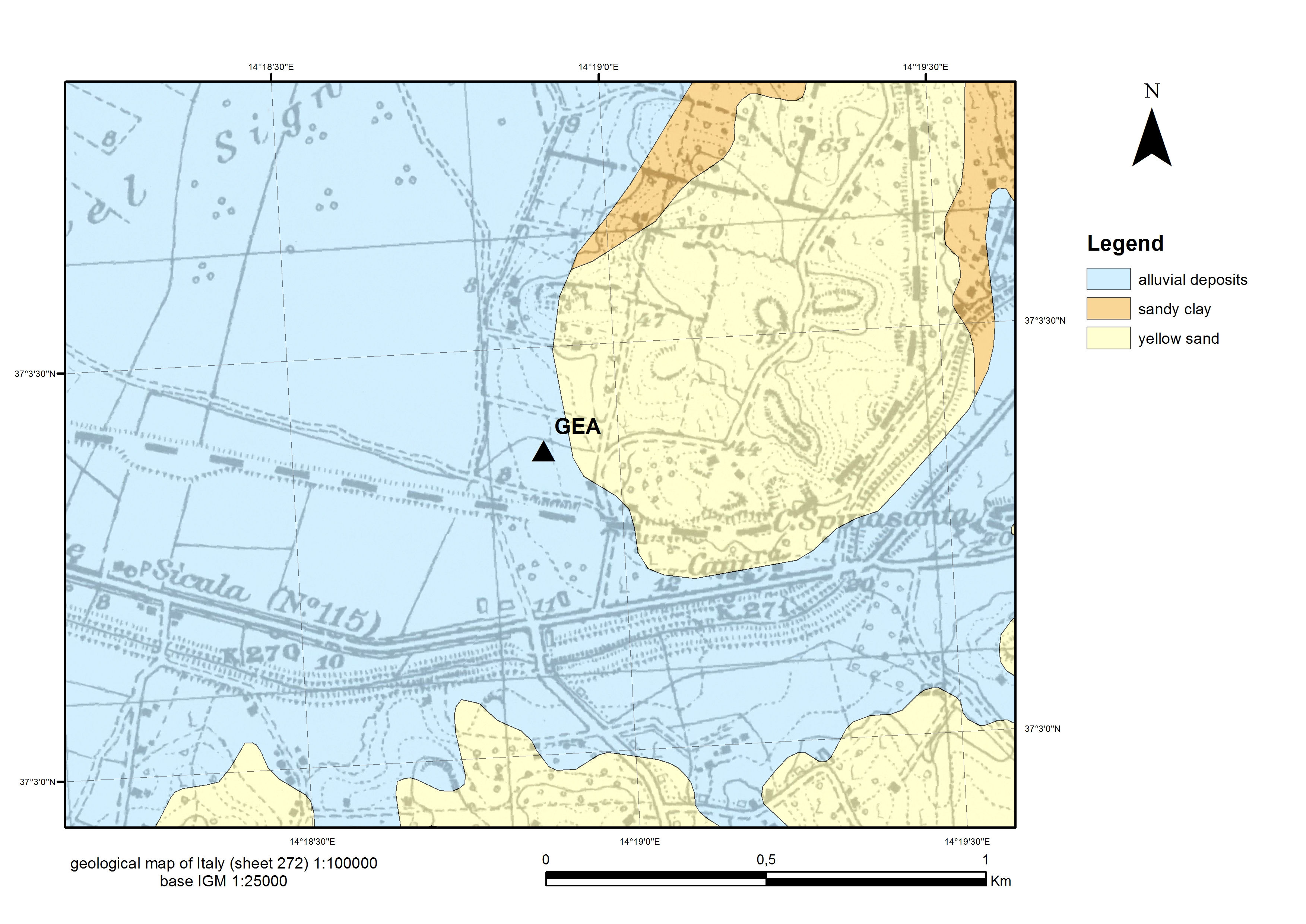
GEOLOGY | |
| ISMD class | Sedimentary-cover |
| map 100k | alluvial-deposits |
| map 50k | missing |
| map 10k | missing |
MORPHOLOGY | |
| ISMD class | missing |
| position | missing |
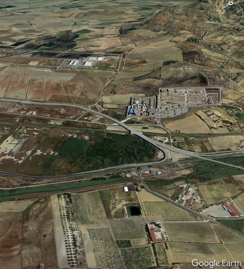
| Google Earth | 3D view |
GEOPHYSICS | |
| noise Fourier spectra | missing |
| noise HVSR | missing |
| directional HVSR | missing |
| f0 [Hz] notes | none http://itaca.mi.ingv.it |
| dispersion curve | missing |
| Vs profile | missing |
| Vs30 [m/s] reference | 246.0 S4-project (DPC-INGV 2007-2009) |
| Vs,eq [m/s] | missing |
SEISMIC CODE | |
| soil category NTC08 | C |
| soil category NTC18 | missing |
| topographic category | T1 |
© 2024 ISMD: INGV Strong Motion Data web portal |  CITATION | COOKIE & PRIVACY | DISCLAIMER | CREDITS | CONTACTS |