
Station: BOB - Bobbio (Italy)
|
GENERAL INFORMATION | |
| Station | BOB |
| Network (FDSN code) | IV |
| Municipality | Bobbio |
| Latitude[N] | 44.7679 |
| Longitude[E] | 9.4478 |
| Elevation [m - a.s.l.] | 910 |
| Starting Date | 2016-07-22 |
| Ending Date | - |
| Recorder | GAIA2-FS-40-VPP |
| Accelerometric stream | HN |
| Accelerometric sensor | EPISENSOR-FBA |
| Full Scale [g] | 2 |
| Location | 00 |
| Sampling [Hz] | 200 |
| Channel-Sensitivity | 320770 |
| Velocimetric stream | HH |
| Velocimetric sensor | TRILLIUM-40 |
| Channel-Sensitivity | 1.17965e+09 |
| Transmission System | WI-FI |
| XML station file | download |
For details see TECHNICAL NOTES
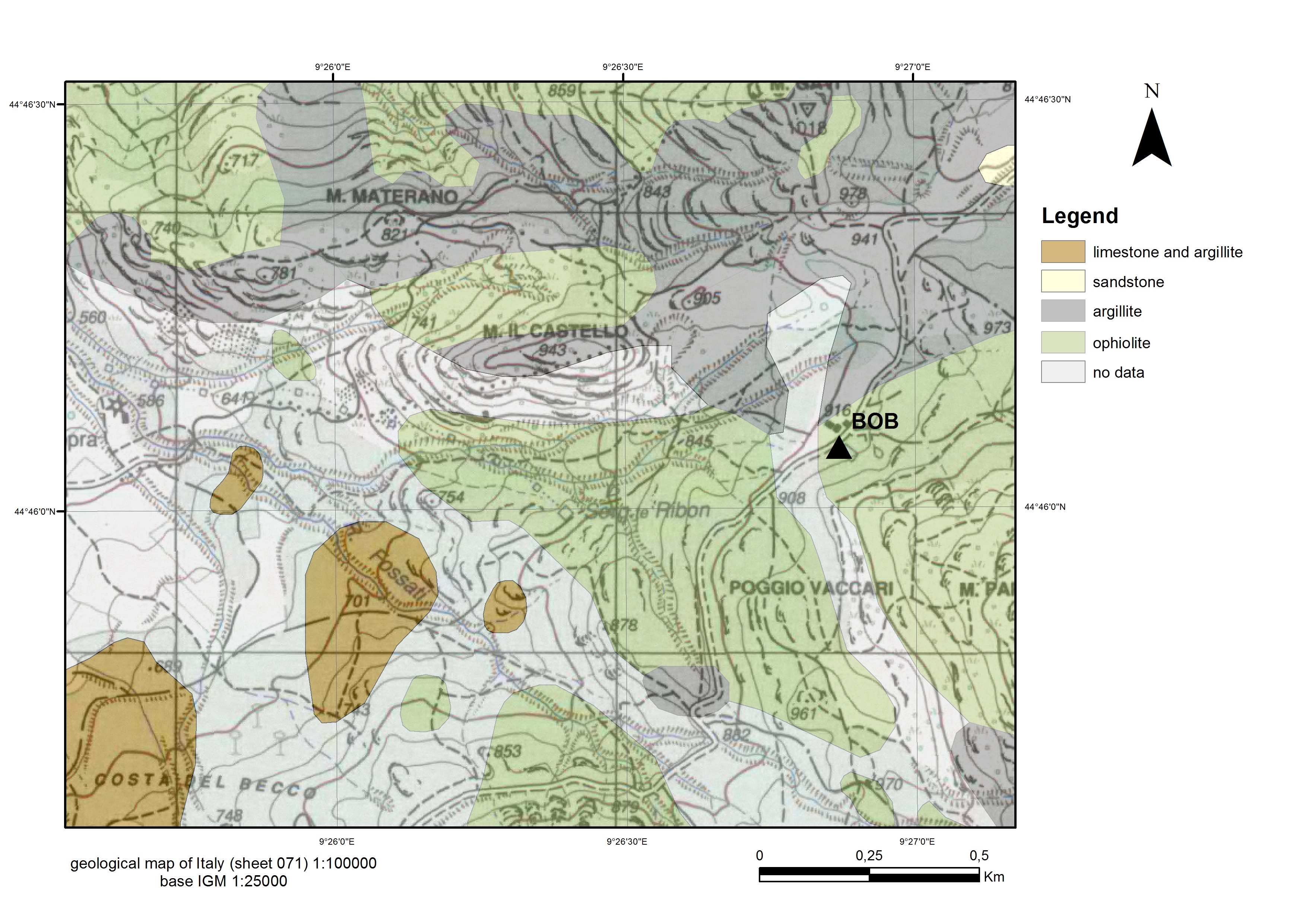
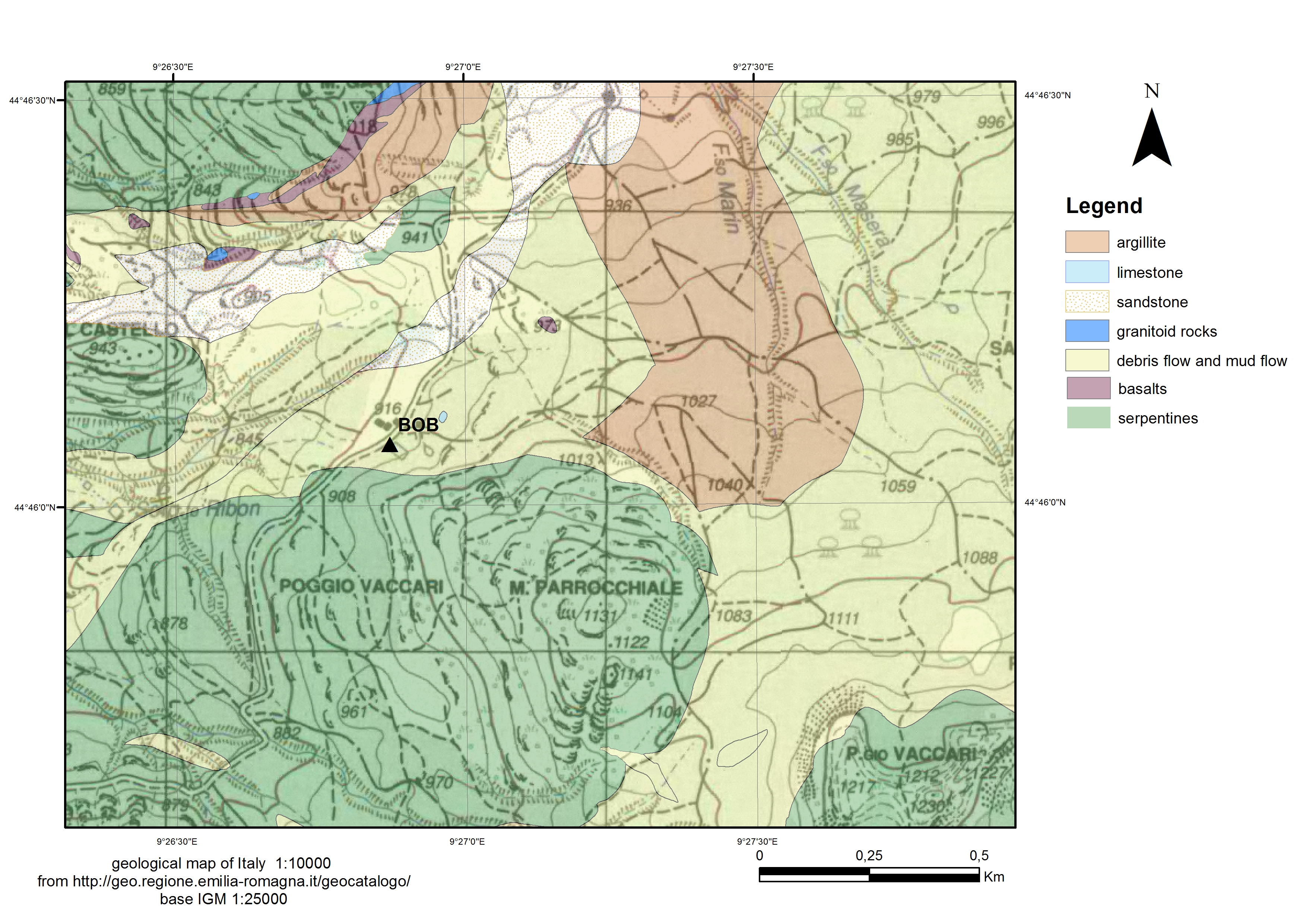
GEOLOGY | |
| ISMD class | Metamorphic-Rock |
| map 100k | ophiolite |
| map 50k | missing |
| map 10k | debris/flow-mud-flow |
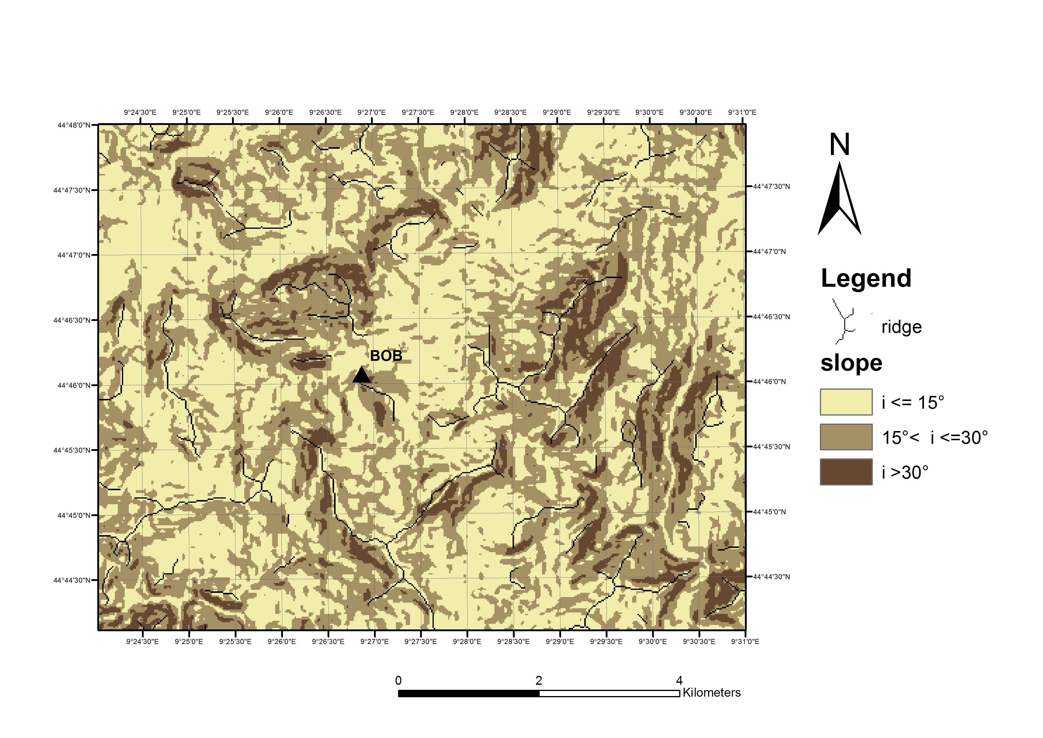
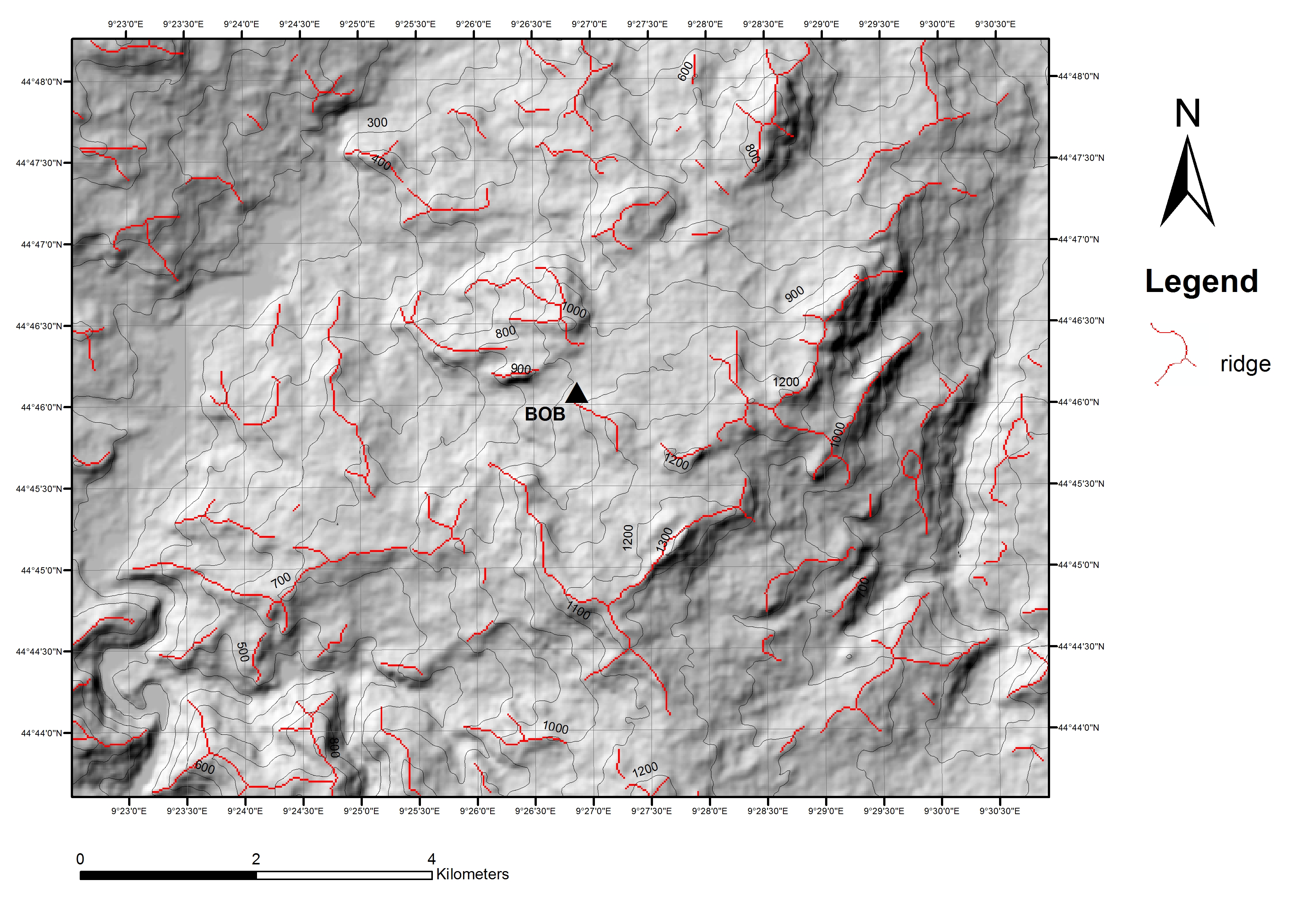
MORPHOLOGY | |
| ISMD class | gentle-slope |
| position | none |
| DEM | map |
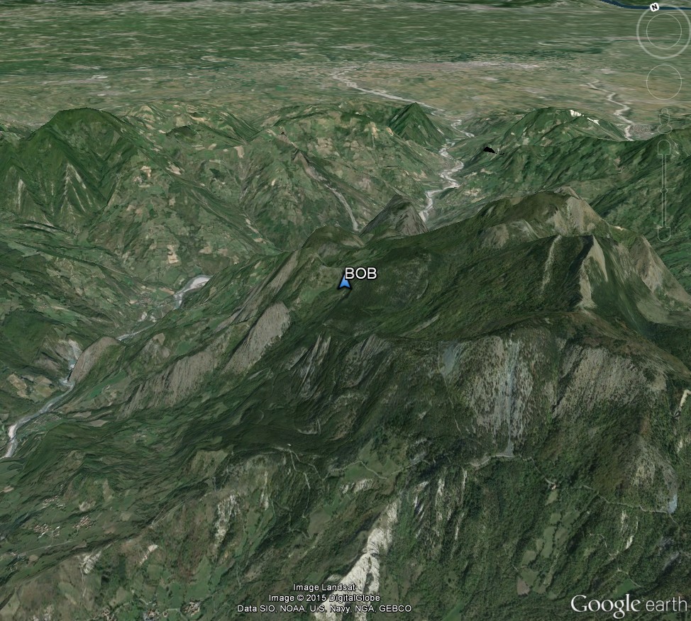
| Google Earth | 3D view |
GEOPHYSICS | |
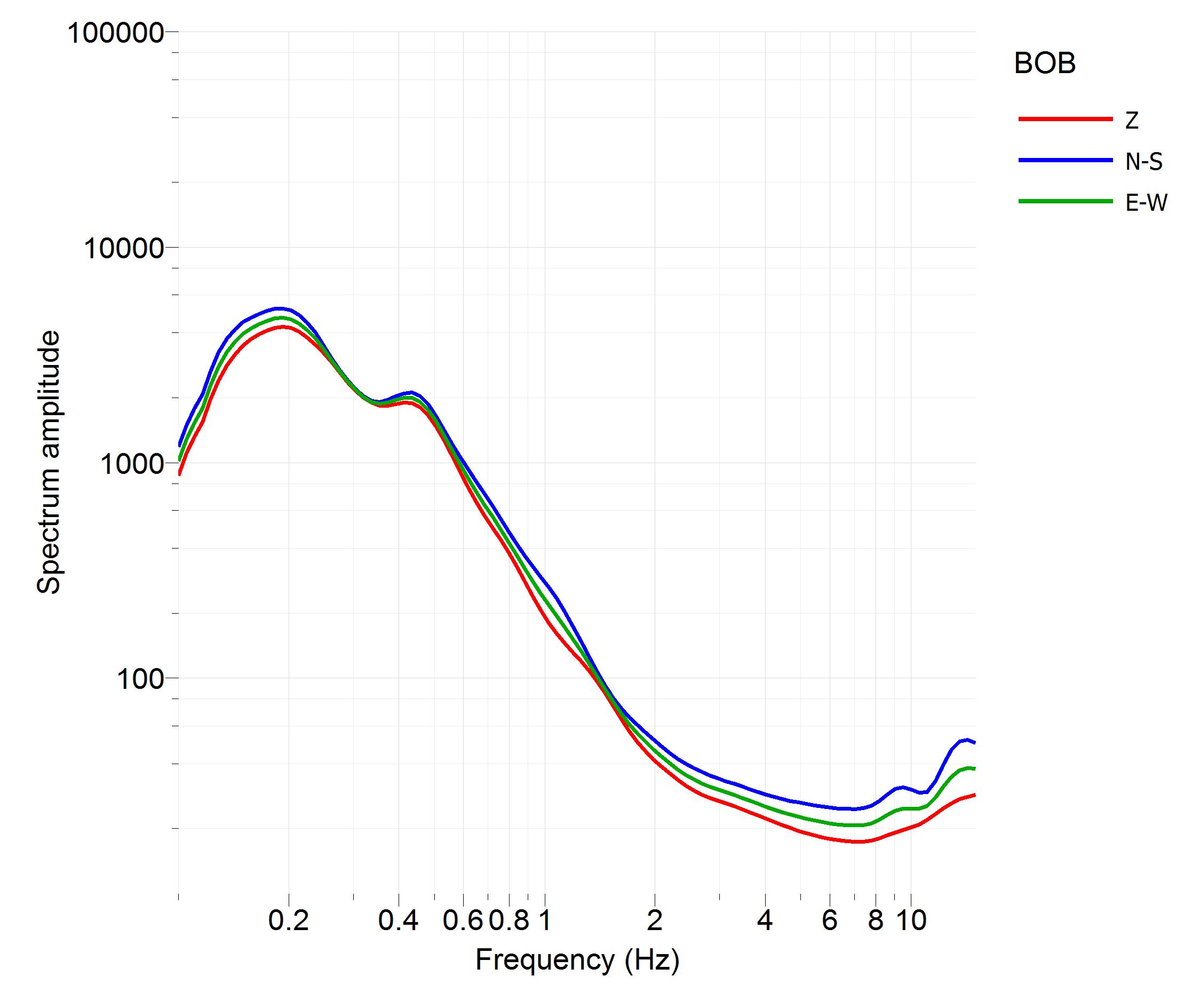
| noise Fourier spectra | Image |
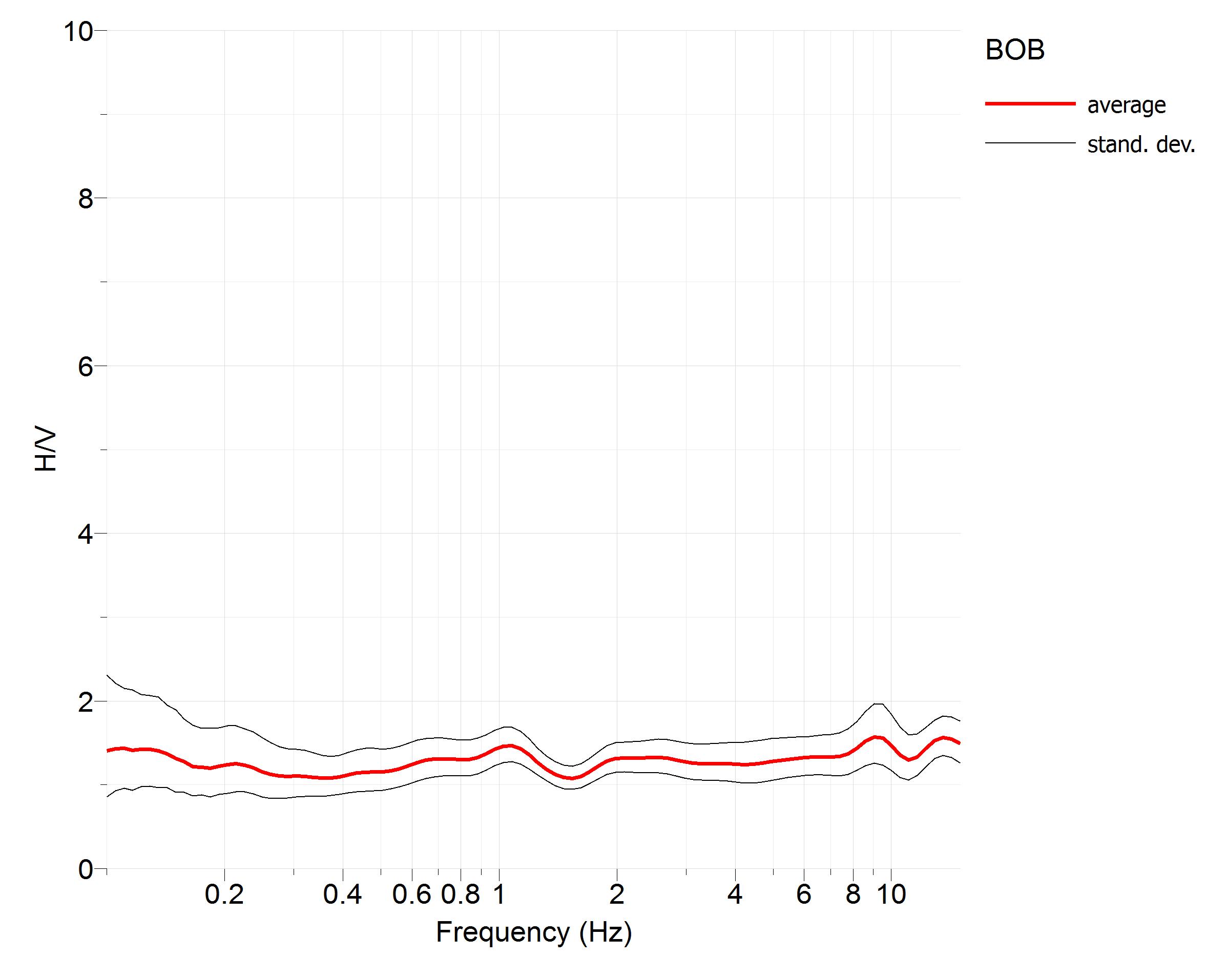
| noise HVSR | Image |
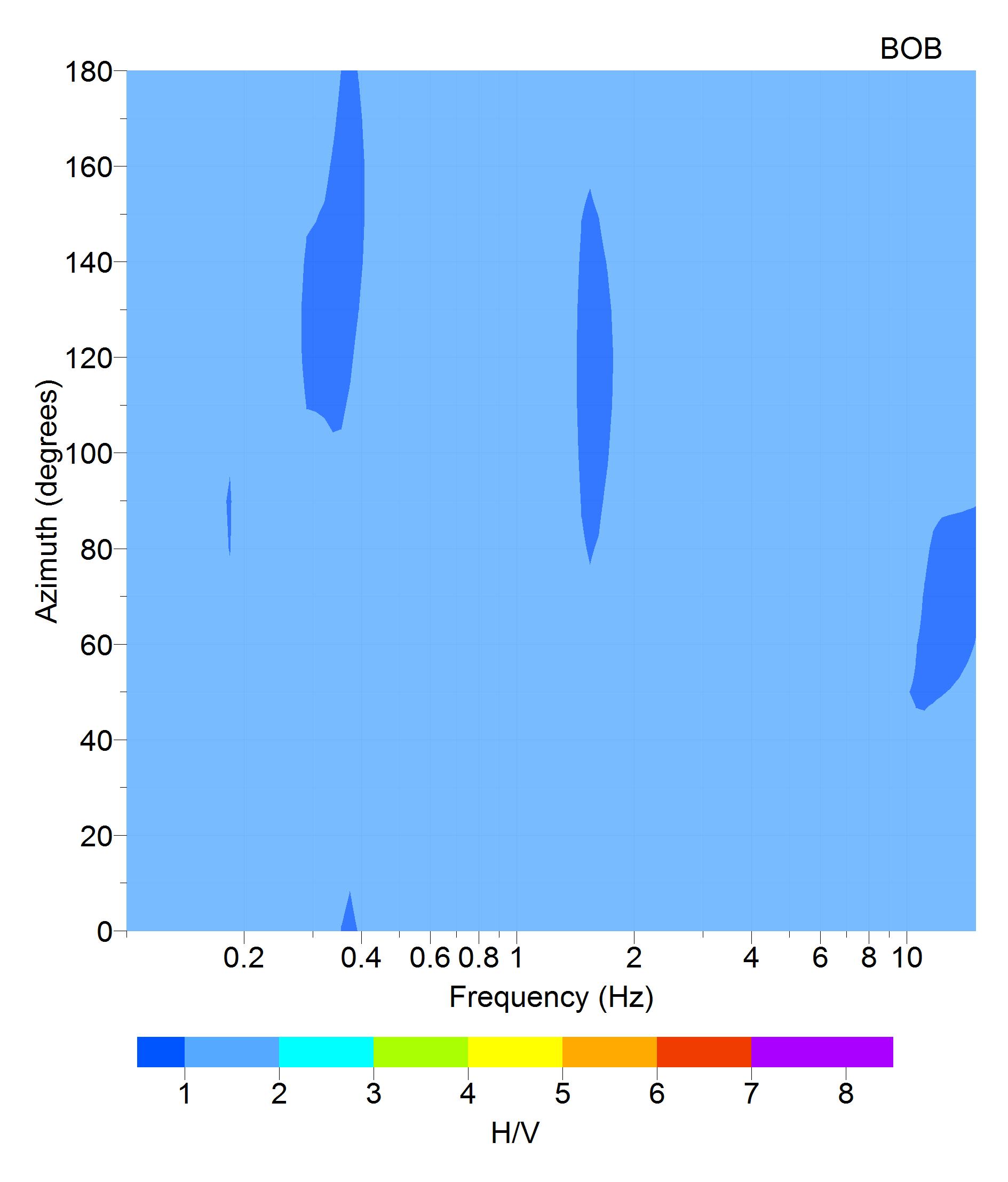
| directional HVSR | Image |
| f0 [Hz] notes | none none |
| dispersion curve | missing |
| Vs profile | missing |
| Vs30 [m/s] | missing |
| Vs,eq [m/s] | missing |
SEISMIC CODE | |
| soil category NTC08 | B* |
| soil category NTC18 | missing |
| topographic category | T1* |
© 2024 ISMD: INGV Strong Motion Data web portal |  CITATION | COOKIE & PRIVACY | DISCLAIMER | CREDITS | CONTACTS |